1. The Geographic Crucible of Central Asia
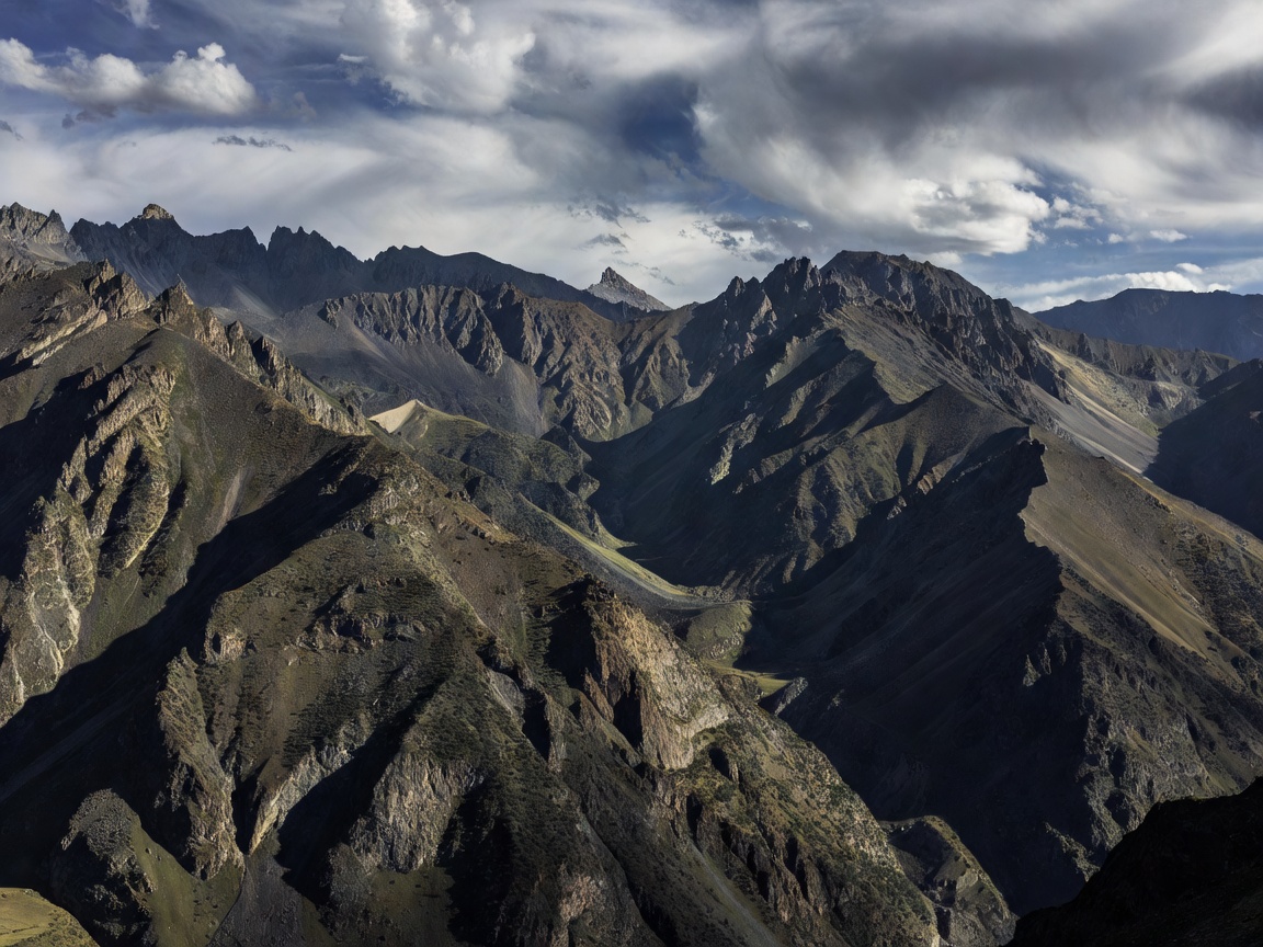
The Fergana Valley is an intensely fertile, triangular depression nestled between the Tian Shan mountains to the north and the Pamir-Alay range to the south. Covering roughly 22,000 square kilometers, it is the agricultural and demographic heart of Central Asia, inhabited by over 14 million people across three post-Soviet republics: Kyrgyzstan, Uzbekistan, and Tajikistan.
Scattered throughout the valley floor and foothills are eight complex international enclaves, creating one of the most intricate geopolitical friction points in modern cartography. These enclaves range from densely populated agrarian districts covering hundreds of square kilometers to small pastoral pockets containing only a few families.
2. Soviet National-Territorial Delimitation (1924–1936)
The enclaves were created during the Soviet National-Territorial Delimitation (NTD) initiatives led by Joseph Stalin and the Soviet Central Executive Committee between 1924 and 1936. When Moscow dissolved the Turkestan Autonomous Soviet Socialist Republic and the Bukharan People's Soviet Republic, planners attempted to construct distinct ethnic union republics (SSR) where mixed populations had lived symbiotically for centuries.
Because these boundaries were conceived as mere administrative borders within the single unified political structure of the USSR, Soviet cartographers drew frontiers to reflect collective farm (kolkhoz) livestock migrations, canal headworks, and localized ethnic majorities. Inter-republic movement was uninhibited, and shared infrastructure made the enclaves completely functional. When the Soviet Union abruptly collapsed in December 1991, these internal administrative lines overnight became hard, militarized international borders.
3. Key Enclaves of the Fergana Matrix
The eight enclaves in the Fergana basin are categorized as follows:
Inventory of Fergana Enclaves
- Sokh (Uzbekistan inside Kyrgyzstan): The largest enclave in the valley (~325 km²), with over 80,000 residents who are predominantly ethnic Tajiks holding Uzbek citizenship, completely encircled by Kyrgyzstan's Batken Region.
- Vorukh (Tajikistan inside Kyrgyzstan): A mountainous enclave (~130 km²) containing approximately 35,000 ethnic Tajiks, situated along the Karavshin River in Batken.
- Shakhimardan (Uzbekistan inside Kyrgyzstan): An enclave of ~90 km² in the Alay mountain foothills, famous for its pilgrimage shrines and alpine tourism.
- Sarvan (Tajikistan inside Uzbekistan): A long, narrow strip (~8 km²) of Tajik territory in the Namangan Region of Uzbekistan, straddling the main road to Angren.
- Jani-Ayil / Dzhangail (Uzbekistan inside Kyrgyzstan): A small parcel (~1 km²) located near the Sokh riverbank.
- Chon-Qora / Qalacha (Uzbekistan inside Kyrgyzstan): A pastoral settlement (~3 km²) on the Sokh River boundary.
- Western Qalacha (Tajikistan inside Kyrgyzstan): A small rural pocket in Batken Region.
- Barak (Historic Kyrgyz enclave in Uzbekistan): A 4 km² Kyrgyz pocket resolved via land swap in 2022.
4. Hydro-Politics and Transport Bottlenecks
The enclaves have historically been focal points for localized resource clashes. In an arid basin dependent on intensive glacier-fed irrigation for cotton and orchards, critical water canals—such as the Tort-Gul reservoir and Machai canal systems—cross between enclaves and host territories multiple times.
Furthermore, main arterial highways connecting regional capitals (such as the Osh–Batken–Isfana highway in Kyrgyzstan) were repeatedly severed by enclave borders, forcing traffic through passport checkpoints, military cordons, and customs posts until bypass roads were constructed in the 2010s.
5. Recent Demarcation Treaties (2021–2026)
In recent years, extraordinary diplomatic progress has been achieved. In January 2023, the Presidents of Kyrgyzstan and Uzbekistan officially completed the full demarcation of their 1,400-kilometer border, implementing a landmark treaty that swapped the enclave of Barak for contiguous land, provided unrestricted transit rights to Sokh and Shakhimardan, and created joint bi-national management of the Kempir-Abad / Andijan water reservoir.
Similarly, intensive bilateral talks between Kyrgyzstan and Tajikistan have demarcated over 90% of their mutual border, creating neutral corridors and shared pasture management frameworks that demonstrate how long-standing enclave challenges can be resolved through collaborative diplomacy.