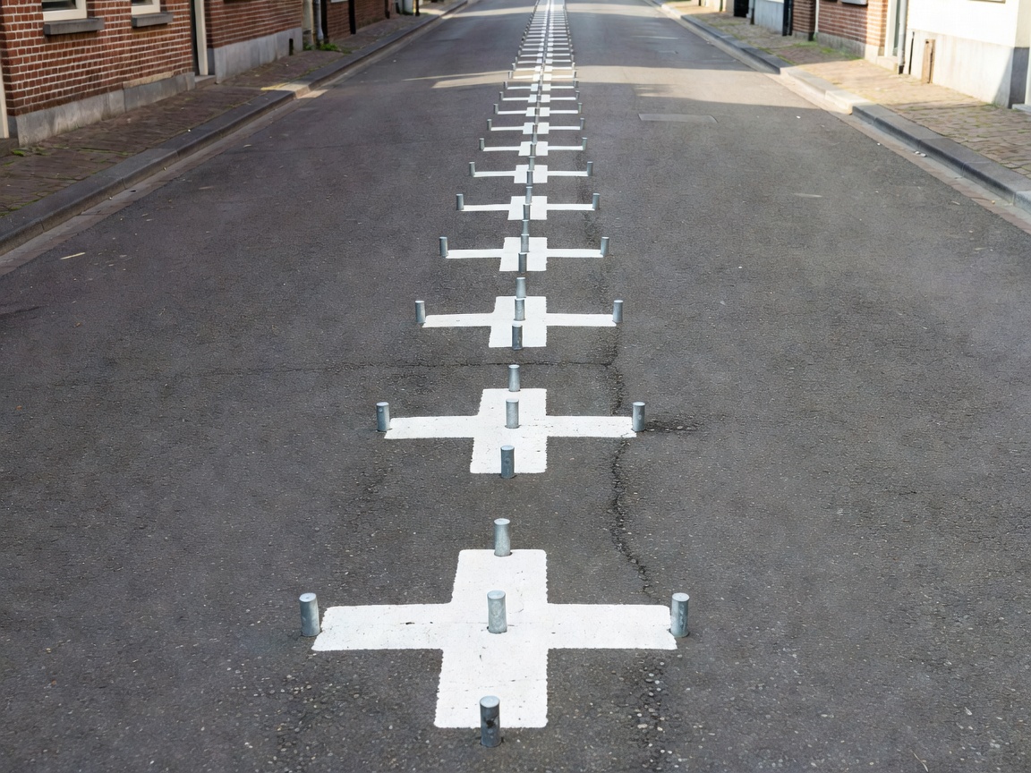
The World's Most Intricate International Boundary
In the southern Netherlands province of North Brabant lies the dual-town municipality of Baarle-Hertog (Belgium) and Baarle-Nassau (Netherlands). It constitutes the most complex enclave puzzle on Earth: 22 separate Belgian exclaves situated entirely within Dutch territory. Inside six of those Belgian enclaves are seven Dutch counter-enclaves (enclaves within an enclave, or second-order enclaves), plus an additional Dutch exclave in nearby Zondereigen.
The smallest enclave parcel (designated H7) covers an area of only 2,632 square meters—smaller than a typical soccer field. The international boundary passes through public roads, retail shopping aisles, restaurants, and private residential dwellings.
Feudal Origins: The Treaty of 1198
The origin of this bizarre patchwork dates back more than 800 years to 1198. Henry I, Duke of Brabant (Hertog), leased parcels of uncultivated land to Godfried II of Schoten, Lord of Breda (whose dynasty later merged into the House of Orange-Nassau). The Duke retained feudal ownership of the parcels inhabited by his direct vassals (which became Baarle-Hertog), while the Lord of Breda held the leased arable plots (which became Baarle-Nassau).
When the Treaty of Münster (1648) ended the Eighty Years' War, dividing the northern Dutch Republic from the southern Spanish Netherlands (modern Belgium), both powers recognized these medieval parcel boundaries. Following Belgian independence in 1830, border commissioners spent decades trying to demarcate the frontier. Unable to agree on land swaps, the Treaty of Maastricht (1843) left the Baarle border status open. It was not until 1995 that the official international boundary commissions formally surveyed and pinned every one of the 5,732 boundary points with millimeter accuracy.
The "Front-Door Rule" (Voordeurregel)
Because the border runs directly through buildings, local municipal law uses the famous Front-Door Rule (Voordeurregel): the nationality, taxation, and municipal jurisdiction of a building are determined by whichever country its front door opens into. Each address plaque in Baarle displays the national flag of either Belgium or the Netherlands beside the house number.
If a border cuts directly down the middle of a front door, the building is assigned dual municipal numbers and both countries' laws apply simultaneously to their respective sides. Historically, residents occasionally moved their front doors a few feet to take advantage of lower tax regimes, closing-hour differences for bars, or legal variations between Belgian and Dutch law.