Geopolitical Overview: Complete Sovereign Enclosure
The Kingdom of Lesotho is an exceptional sovereign anomaly in political geography. Occupying an area of 30,355 square kilometers (11,720 sq mi), it is by far the largest of the world's three fully sovereign enclave nations (the others being San Marino and Vatican City, both located inside Italy). Lesotho's entire external perimeter of 1,106 kilometers is bounded exclusively by the Republic of South Africa.
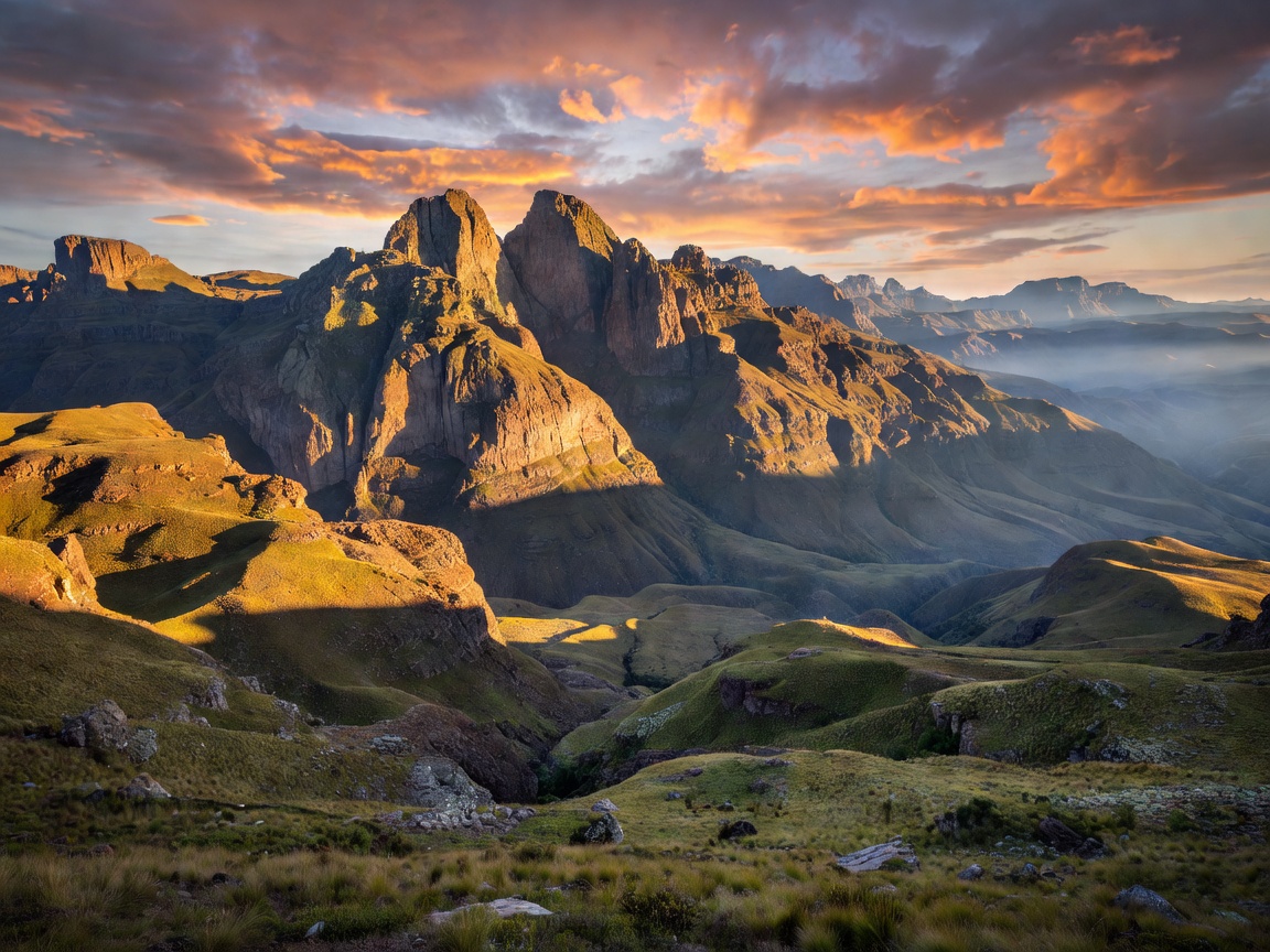
Known colloquially as the "Kingdom in the Sky," Lesotho holds the unique global distinction of being the only independent state on Earth whose entire territory sits above 1,000 meters (3,281 feet) in elevation. Its lowest geographical point at the junction of the Makhaleng and Orange (Senqu) Rivers is 1,400 meters (4,593 ft) above sea level, making it the highest lowest point of any sovereign country.
Historical Genesis: King Moshoeshoe I and Basutoland
The survival of Lesotho as an independent state rather than an integrated province of South Africa is the result of extraordinary 19th-century diplomacy and military strategy orchestrated by King Moshoeshoe I (c. 1786–1870). During the turbulent era of the Mfecane (regional upheaval and migrations), Moshoeshoe united various Basotho clans atop the natural fortress of the Thaba Bosiu plateau.
To defend against encroaching Boer settlers from the Orange Free State and British imperial forces, Moshoeshoe strategically requested British protectorate status in 1868. Under the name of Basutoland, the territory was administered separately from the surrounding colonies. When the Union of South Africa was constituted in 1910, the British Crown preserved Basutoland's autonomy, resisting repeated South African diplomatic pressure to absorb the highland enclave. On October 4, 1966, the nation achieved full independence as the Kingdom of Lesotho.
Hydrological Leverage: The Lesotho Highlands Water Project
Despite being economically encircled by South Africa, Lesotho commands critical geopolitical leverage through its abundant alpine water resources. The Lesotho Highlands Water Project (LHWP), established via a landmark 1986 bilateral treaty, captures and redirects water from the high-altitude Senqu/Orange River catchment through tunnels across the Drakensberg mountains to South Africa's industrial heartland in Gauteng (Johannesburg and Pretoria).
In exchange, Lesotho generates substantial hydropower for domestic self-sufficiency at the 'Muela hydroelectric plant and receives multimillion-dollar annual royalty payments from South Africa, illustrating how an enclave nation can leverage physical geography to balance asymmetric power dynamics.
Border Crossings and Transit Treaties
Because Lesotho has no direct access to international waters, all maritime shipping and transit of goods must flow through South African ports—predominantly the Port of Durban, situated approximately 400 kilometers east of Maseru. Transit rights are governed by bilateral international treaties and Southern African Customs Union (SACU) conventions, ensuring tariff-free transit across 14 designated land border control posts, including Maseru Bridge, Ficksburg Bridge, and the rugged Sani Pass.